By Azeez-Ayodele Fatimah Ayotemitide
In a rural community in Kano, health workers may know that children are missing routine immunization, but without knowing exactly where those children live, response efforts can remain slow and incomplete.
Teams may understand what is happening, but not always where it is happening, where gaps persist, or how to respond with precision. In public health, that missing layer matters. Disease outbreaks spread across locations, and immunisation gaps often emerge in specific settlements. Without spatial intelligence, even strong data may fall short of driving effective action.
This challenge is not unique to Kano. Across many health systems, data is collected routinely but is not always translated into practical decisions that improve service delivery.
This reality informed the need for a Geospatial Curriculum for Health Professionals, a competency-based learning programme designed to help health workers apply geospatial tools to planning, surveillance, emergency response, and resource allocation.
Building Long-Term Geospatial Capacity
Across Nigeria, geospatial training has often happened in fragments, delivered through isolated programmes tied to short-term project cycles and rarely embedded into the institutions that shape long-term workforce development. eHealth Africa worked with Bayero University Kano’s Centre for Dryland Agriculture (CDA) to co-develop a competency-based curriculum that can outlast a single project.
Supported by the Umbrella Fund, the collaboration aims to embed geospatial learning within academic and professional systems that can continue producing skilled public health workers over time.
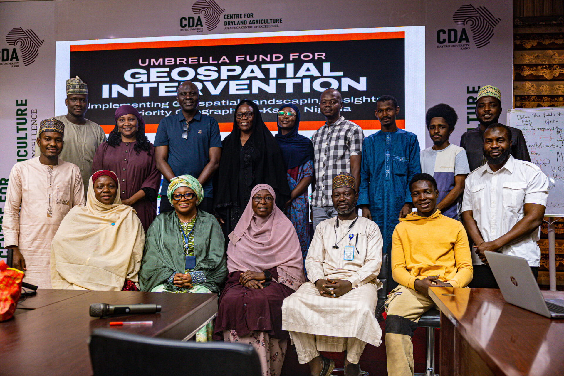
eHealth Africa and Bayero University Kano piloted the first delivery of the curriculum, training 41 participants across the Basic, Intermediate, and Advanced certification tracks. The pilot brought together health professionals from government institutions and partner organisations for hands-on training in practical geospatial tools and workflows.
Victor Idakwo, Associate Manager, GIS & Data Analytics at eHealth Africa, explained: “Before this time, we had geospatial learning and training done in silos. That informed the project itself to have a standardised curriculum formulated and training handled by an accredited university in Nigeria. Instead of having training across different organisations, all the organisations can now come to a single place to receive the training.”
For Bayero University, the same shift is central. As Professor Murtala Mohammed Badamasi, Deputy Director at the Centre for Dryland Agriculture, noted: “Bayero University was willing to institutionalise this particular curriculum. We developed the curriculum together, co-designing and developing it together. And then we are now institutionalising it as part and parcel of the courses that will be run by the Centre for Dryland Agriculture.”
A curriculum designed for how health systems actually work
The Geospatial Curriculum for Health Professionals was intentionally designed around the realities of public health operations. It is a health-focused programme built around the decisions health workers make every day.
The curriculum includes 11 modules delivered across three certification levels: Basic, Intermediate, and Advanced, and aligns learning to the different tiers of the health system, from primary healthcare and ward-level functions to local government and state-level planning. Participants learn practical tools, including the Global Positioning System (GPS) data collection, Quantum Geographic Information System (QGIS), digital data collection platforms, spatial analysis, and map use for routine decision-making.
The design also reflects the cross-sector nature of public health. Comfort Audu, Project Manager at eHealth Africa, noted during the pilot: “The initiative is timely as it has brought together participants from various Ministries, departments”, “and Agencies like NAFDAC, Veterinary, digital Health, Environment, and Food and Drugs, which forms the new trend of One Health.”
Early signs of operational relevance
What makes this work especially promising is how quickly participants began connecting geospatial tools to real health system needs. For some, the value was in replacing manual, paper-heavy processes with more efficient digital methods. For others, it was in seeing how tools like QGIS could strengthen immunisation tracking, campaign planning, and service coverage analysis.
Kasim Ibrahim of the National Agency for Food and Drug Administration and Control (NAFDAC), who joined the Basic class, described the training as an entry point into a new way of working: “Before this programme, I had zero idea. The only thing I used partially was Google Maps.”
After the training, he said, “It has significantly shown me that with these tools, we can get better data and enhance field activities. Before now, we used analogue methods, paper and pen, which are prone to many errors.”
Building beyond the pilot
The long-term success of this initiative will not be measured only by the number of people trained in a single cohort. It will be measured by whether geospatial capacity becomes embedded in routine health system functions and whether institutions can continue producing that capacity over time.
That is why the partnership with Bayero University remains central. The Memorandum of Agreement signals a shared commitment to creating an institutional home for this work, one that can support curriculum refinement, future cohorts, and broader adoption over time.
This is how systems change begins: not with isolated moments of learning, but with structures that make learning durable.
Professor Murtala Mohammed Badamasi captured the logic clearly: “Partnership allows for synergy in terms of collaboration and the delivery of practice. This is where the partnership between non-governmental organisations and academia allows for the cross-fertilization of ideas.”
The long-term value of geospatial learning lies not only in collecting more data, but in helping health workers use that data more effectively. By moving geospatial training beyond short-term workshops and embedding it within an institutional framework, eHealth Africa and Bayero University are helping strengthen a workforce that can make more informed, location-driven public health decisions. Ultimately, stronger health systems depend not only on information but on the ability to turn information into action.