May 20, 2026
Invisible Communities Become Visible

In public health, what is not counted is often not served.
Across many underserved and hard-to-reach areas, entire settlements can remain functionally invisible to healthcare systems, not because people are absent, but because the systems designed to reach them lack accurate visibility into where they are, how they move, and what services they can access.
The consequences are significant.
– Children are missed during immunization campaigns.
– Disease surveillance gaps widen.
– Healthcare resources are distributed unevenly.
– Emergency responses become slower and less precise.
– Communities already facing geographic or socioeconomic barriers become even more disconnected from essential services.
In many cases, the challenge is not willingness to serve these populations.It is the absence of reliable operational data. This is why GIS mapping, settlement enumeration, and digital microplanning have become increasingly important components of resilient health systems. Before healthcare services can effectively reach vulnerable populations, health systems first need a clearer understanding of where people are located and what barriers exist between communities and care delivery.
Making Invisible Communities Visible
Traditional maps do not always reflect the realities of population movement, informal settlements, nomadic communities, changing environmental conditions, or rapidly expanding rural populations.
As a result, health teams may plan interventions around incomplete assumptions, outdated settlement lists, or limited geographic visibility.
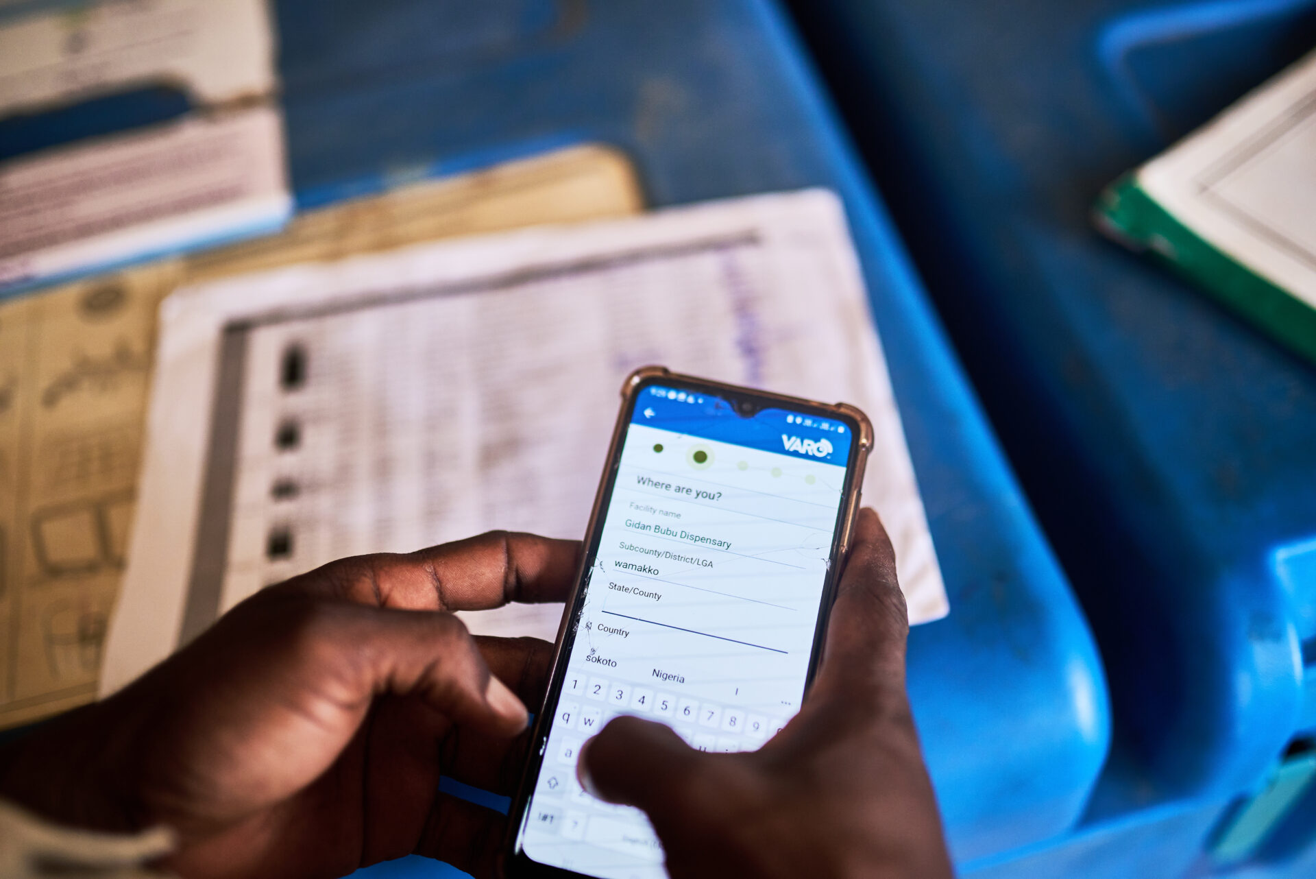
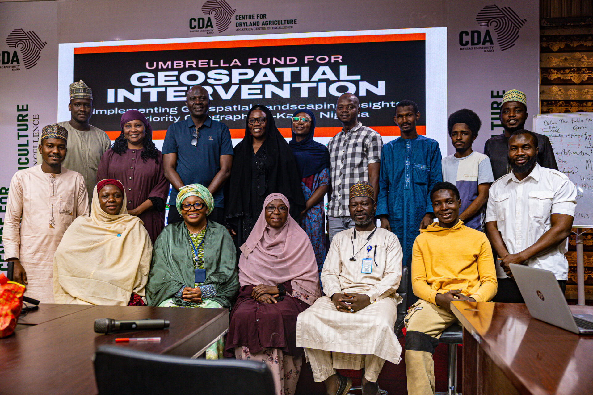
Digital enumeration and GIS-supported mapping help address this challenge by creating more accurate population visibility and operational planning systems. Through field enumeration activities, health teams can identify previously undocumented settlements, validate population estimates, map access routes, and improve understanding of community distribution patterns. GIS tools then transform this information into actionable planning intelligence.
Instead of relying solely on static reports, teams can visualize service gaps geographically, optimize team movement, identify high-risk or underserved areas, and improve allocation of resources during campaigns and routine healthcare delivery. The result is not simply better maps. It is better decision-making.
Strengthening Immunization and Public Health Delivery
The impact of improved geographic visibility becomes especially clear during immunization campaigns and outbreak response efforts.
When settlements are missed during microplanning, children are often missed during vaccination activities. This creates vulnerabilities not only for individual communities but also for broader public health systems attempting to reduce the spread of vaccine-preventable diseases. By integrating GIS mapping and digital microplanning into immunization operations, health teams can improve settlement tracking, monitor field activities more effectively, and identify areas requiring rapid follow-up.
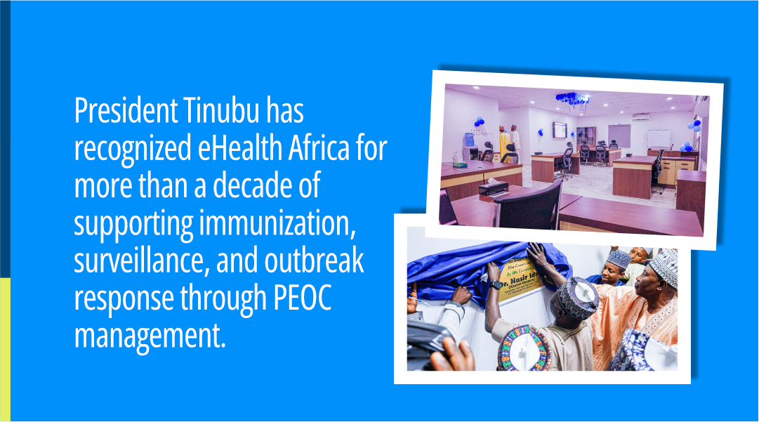
Recent enumeration and immunization support activities across northern Nigeria demonstrated how digital tools and geospatial visibility can improve operational oversight across thousands of settlements and multiple Local Government Areas. These approaches help reduce duplication, improve accountability, and strengthen confidence that interventions are reaching intended populations.
More importantly, they support a shift from generalized planning to evidence-based service delivery.
From Data Collection to System
Strengthening Data alone does not strengthen health systems. What matters is whether systems can translate data into coordinated action. This is where digital microplanning becomes essential.
Microplanning allows health teams to move beyond broad operational assumptions by using localized data to guide staffing, logistics, transportation planning, outreach scheduling, supervision structures, and resource deployment.
When integrated effectively, digital microplanning can help answer practical operational questions like:
– Which settlements remain underserved?
– Which routes create delays for field teams?
– Where are coverage gaps most likely to occur?
– Which communities require additional mobilization efforts?
– How can supervisors monitor field performance more effectively?
By improving operational precision, these systems contribute to more equitable healthcare access, particularly for populations that are geographically isolated or historically underserved. Importantly, they also reduce inefficiencies that place additional strain on already stretched healthcare systems.
Equity Begins With Visibility
Healthcare equity is often discussed in terms of funding, infrastructure, workforce capacity, or medical access. But equity also depends on visibility. Communities that are absent from planning systems are more likely to experience delayed services, weaker health outcomes, and lower inclusion in public health interventions.
Visibility creates the foundation for inclusion. When health systems know where people are, understand their realities, and can respond with greater precision, service delivery becomes more equitable and more effective.
This is why for us at eHealth Africa, strengthening health systems includes supporting the digital infrastructure, geospatial intelligence, and operational coordination mechanisms that improve healthcare delivery across vulnerable populations.
We strongly believe resilient public health systems are not built only in urban centers or policy discussions. They are built when even the most difficult-to-reach communities become visible enough to be served consistently, intentionally, and effectively.