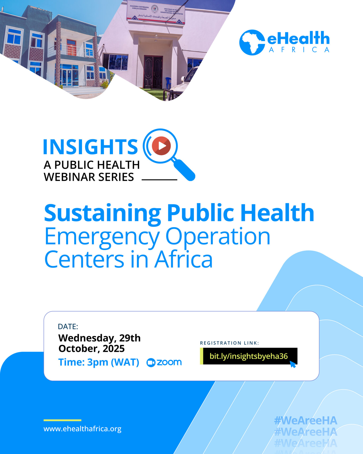
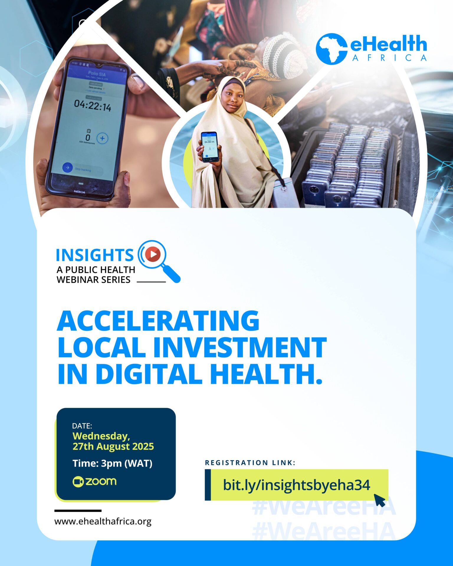
Events
Insights : Driving Health Equity with Geographic Information Systems

Moderator:
Tijesu Ojumu – Communications Coordinator, eHealth Africa
Panelists:
Oro-ghene Oros Adia – Community Health Specialist, eHealth Africa
Dr. Esther Shupel Ibrahim – GIS and Research Specialist, Nigerian National Space Research and Development Agency
Busayo Fashoto – Senior Manager, GIS Team, eHealth Africa
Summary:
The 37th edition of the Insights Webinar Series, hosted by eHealth Africa, focused on the theme “Driving Health Equity with Geographic Information Systems (GIS).” The session examined how GIS has evolved from a simple mapping tool into a comprehensive system that enables data-driven decision-making, strengthens community engagement, and improves equitable health interventions.
The discussion began with Busayo Fashoto, who framed GIS around three guiding questions: what, where, and why. He explained that GIS not only helps identify and locate resources or communities but also provides insights into why services are positioned in certain areas. This approach allows planners to optimize interventions, solve complex health challenges, and better reach hard-to-reach communities, especially in flood-prone, arid, or disaster-affected regions. Busayo highlighted how GIS addresses gaps caused by fragmented data, urbanization, migration, and climate change, making it a critical tool for equitable health planning.
Building on this foundation, Oro-ghene Oros Adia described GIS as a relationship tool that connects people, fosters trust, and enables collaboration within communities. He emphasized that beyond its technical applications, GIS plays a central role in linking stakeholders, aligning programs with local needs, and supporting community-driven solutions.
Dr. Esther Shupel Ibrahim further illustrated GIS in lay terms, explaining its practical applications for mapping households, facilities, and environmental factors on a digital map, while showing relationships between these elements. She drew parallels with familiar tools like Google Maps, emphasizing how GIS integrates multiple layers such as roads, water sources, and health facilities, to guide planning, service delivery, and resource allocation.
Together, the panel highlighted how GIS empowers governments, NGOs, and development partners to map populations, track service coverage, and integrate real-time data, revealing patterns of exclusion and guiding targeted interventions. They underscored that GIS has moved far beyond traditional mapping, serving as a platform for data-driven planning, community engagement, and multisectoral collaboration.
The session concluded with a unified message: GIS is a transformative tool for advancing health equity. Participants were encouraged to leverage GIS in their own contexts to improve service delivery, maximize resources, and ensure underserved communities have equitable access to health interventions.