June 28, 2025
Digital Surveillance in Action: How Geospatial Tools Are Strengthening Polio Response in Kebbi State
Tijesu Ojumu
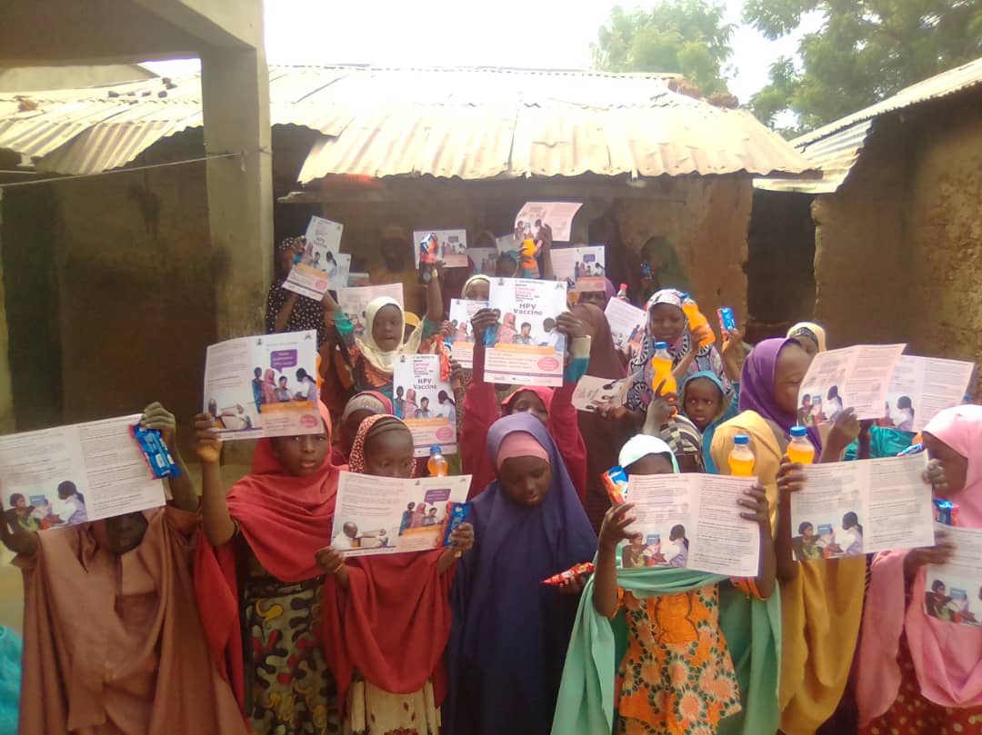
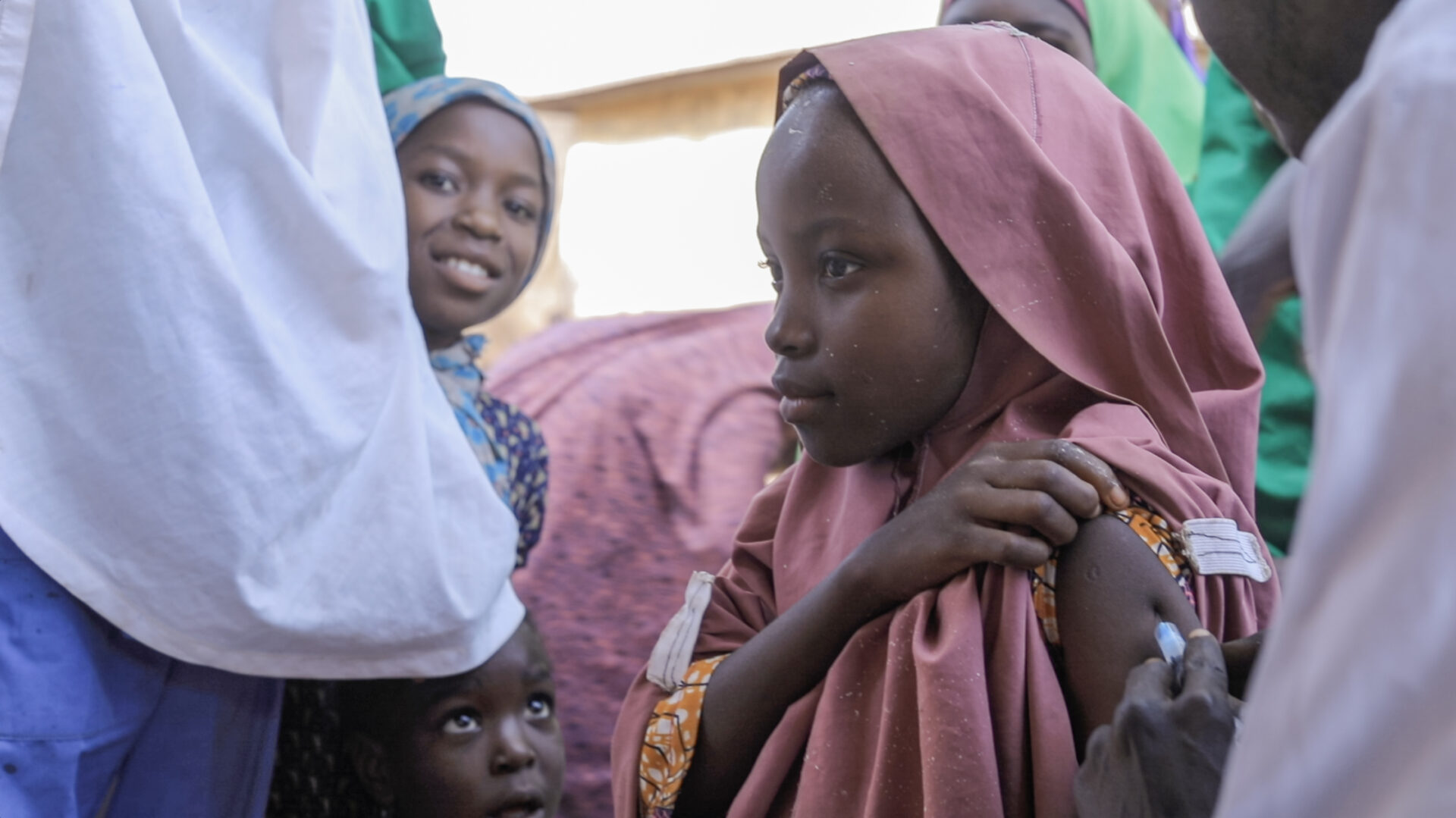
In northern Nigeria, where healthcare access is challenged by terrain, insecurity, and resource gaps, responding quickly to a disease outbreak can mean the difference between containment and catastrophe. That’s why innovative disease surveillance strategies are essential—and why eHealth Africa’s work in Kebbi State is setting a new standard.
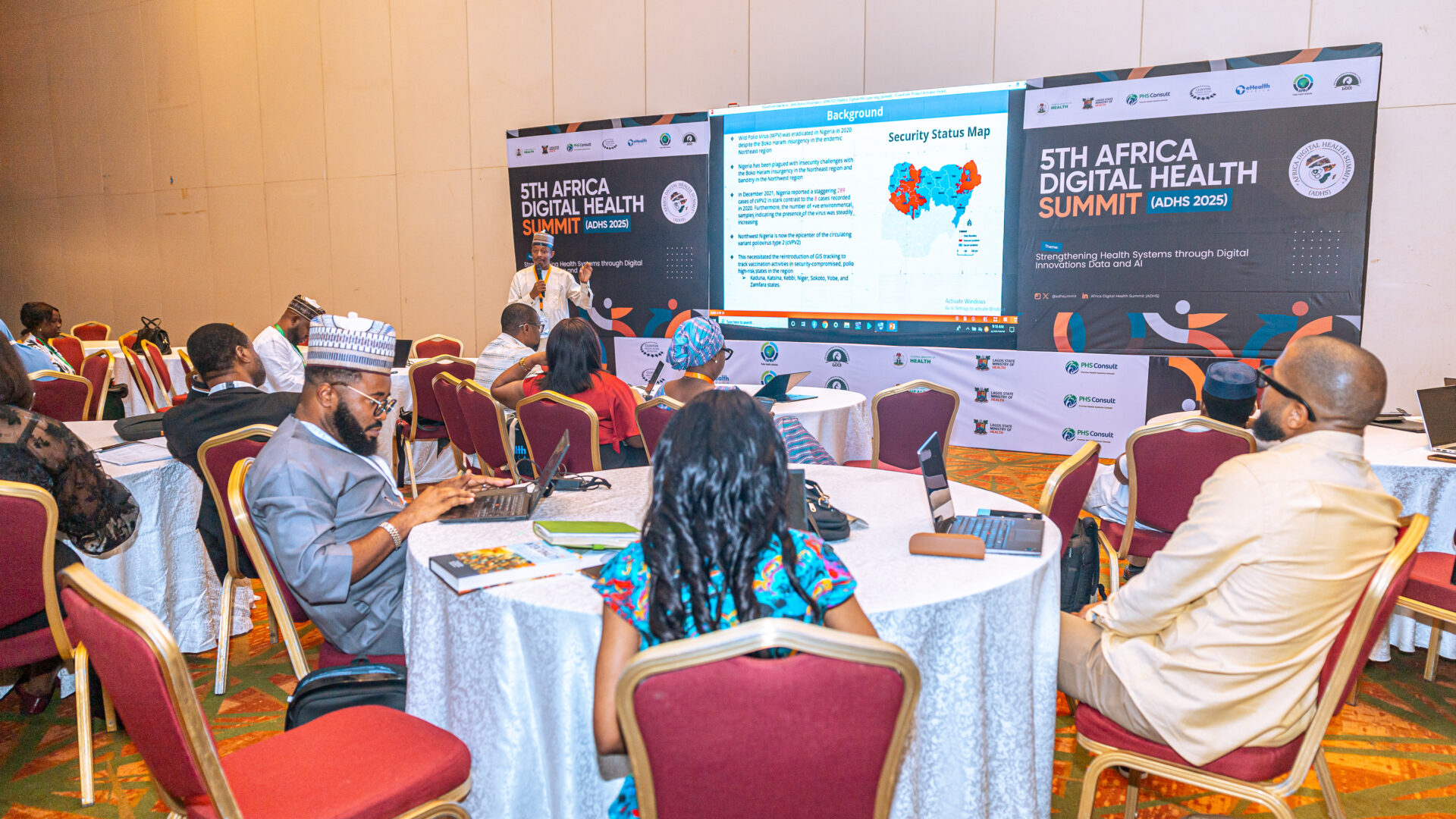
At the 2025 Africa Digital Health Summit, eHealth Africa presented an abstract during the Scientific Session III titled “Applications of Geospatial Tracking Systems and Digital Microplanning Tools to Improve Polio Outbreak Response in Kebbi State, Nigeria.” The research, jointly authored by Abubakar Shehu, Comfort Audi, Dayo Akinleye, and Ruth Nkem, highlights a replicable model for how integrated digital tools can dramatically improve response times, accuracy, and community coverage.
Polio remains a persistent threat in parts of northern Nigeria, where complex geography, nomadic populations, and infrastructural limitations make it difficult to identify and reach all at-risk children. Traditional microplanning often relies on outdated or incomplete maps, leaving gaps in immunization coverage and exposing communities to preventable outbreaks.
That’s where geospatial tracking and digital microplanning come in.
In Kebbi, eHealth Africa deployed a suite of tools that included:
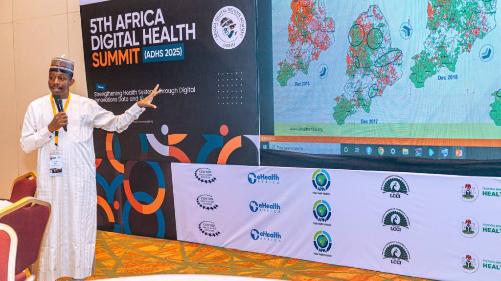
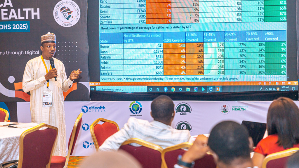
- Geospatial mapping and tracking: Accurately plotting settlements, population clusters, and hard-to-reach areas using satellite data and field validation.
- Digital microplanning via Planfeld: Replacing manual registers and static Excel sheets with dynamic dashboards that allowed health teams to plan campaigns based on real-time data.
- Mobile-based feedback loops: Enabling vaccinators and supervisors to report field challenges instantly, improving accountability and mid-campaign adjustments.
The result? A notable increase in vaccination coverage, reduction in missed settlements, and better identification of high-risk zones. By layering population data, health facility readiness, and campaign performance onto interactive digital maps, the team in Kebbi could visualize gaps and reallocate resources with unprecedented speed and precision.
This was not just about technology—it was about coordination, capacity building, and data-informed action.
Key to the success of this approach was local ownership. Field teams were trained extensively to use the new tools, and state and LGA health officials were actively involved in planning sessions. This made the data more meaningful and the tools more sustainable.
What makes the Kebbi experience so powerful is its replicability. The lessons from this deployment can apply not just to polio, but to any outbreak-prone disease. Whether it’s cholera, measles, or Lassa fever, the ability to map, plan, and respond in real time is becoming a cornerstone of effective public health systems.
eHealth Africa’s work in Kebbi is a clear example of how digital innovation can bridge systemic gaps in the last mile. As outbreaks grow more complex and resources remain limited, Africa must invest in the kind of solutions that make every dose, every data point, and every decision count.
We’re proud of the team that led this work and grateful to all field workers, partners, and government agencies who made it possible.To learn more about eHealth Africa’s digital tools for outbreak response, visit ehealthafrica.org.